Top of the World Highway
Top of the World Highway
301 km of ridgelines between Dawson City (Yukon) and Tok (Alaska): distance markers, seasonality and advice for planning this panoramic drive.
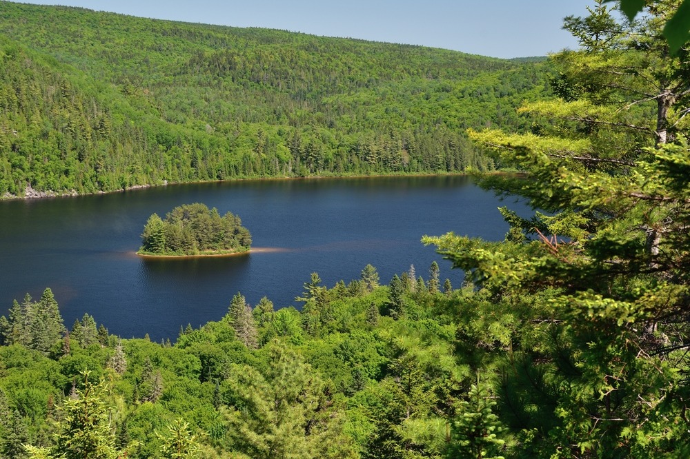
The Top of the World Highway connects Dawson City in Yukon to Tok in Alaska, spanning 301 km of ridgelines above the treeline. The highway owes its name to its route: it follows the summits without descending into valleys, offering continuous views over the tundra. The Canadian portion covers approximately 120 km to the Little Gold/Poker Creek border crossing, presented as North America's most northern international crossing point. On the American side, the Taylor Highway extends the route for approximately 180 km to Tok.
Why take this road?
The Top of the World Highway is first and foremost a landscape experience. The high-altitude route exposes travellers to open panoramas of the Yukon taiga and the Ogilvie Mountains, in a region where services are scarce and traffic light. For those travelling between Dawson City and Alaska, it is a journey in its own right, linked to the memory of the Klondike Gold Rush and the ancient presence of First Nations. The highway is open only a few months each year, making it a seasonal route that requires careful planning.
History of the highway
The territory crossed by the Top of the World Highway was inhabited long before the arrival of prospectors. The Tr'ondëk Hwëch'in First Nation has hunted caribou and fished for Arctic char here from generation to generation, and their presence remains etched in the current landscape.
What was merely a pack trail at the turn of the twentieth century was gradually developed into a passable road, extended to the Alaska border in the 1930s, and then to neighbouring Alaskan communities in the 1940s. The highway was officially mapped in its current form in 1955.
Yukon residents call it the "60 Mile," referring to the distance between Dawson City and the border. On the Alaska side, it is known as the Taylor Highway (Route 5). Two names, two territories, one same route.
What to see along the way?
The ridgeline route offers views of tundra and taiga, punctuated by stops marked by distance markers from Dawson City.
Km 0: The George Black Ferry
The journey begins with a crossing of the Yukon River aboard the George Black Ferry, which connects Dawson City to West Dawson in summer. A few kilometres beyond the opposite shore, a first viewpoint overlooks Dawson City and the confluence of the Yukon and Klondike rivers.
Km 14: Rest area and viewpoint
A rest area offers a short hiking trail leading to a viewpoint over the Yukon River, accompanied by interpretive panels on the territory and its history.
Km 56: Castle Rock
A rocky outcrop sculpted by erosion, Castle Rock ranks among the most photographed stops. In autumn, lingonberries and blueberries bordering the site colour the landscape.
Km 59: Clinton Creek and Forty Mile
A secondary road of 50 km leads to Clinton Creek, a former asbestos mining site operated in the 1960s and 1970s, now abandoned. The same junction provides access to the historic Forty Mile site, the first town founded in Yukon during the gold rush. The Clinton Creek Hideaway offers accommodation in the wilderness, in dormitories or private cabins.
Km 68.3: The Cowden dredge
Abandoned by a mining company in the 1930s, the Cowden dredge is accessible from this distance marker via a trail of approximately 4.5 km.
Km 104: The highest point
The highway reaches its maximum altitude of 1,376 metres. On clear days, the Ogilvie Mountains stand out on the horizon to the northeast.
Km 107: The village of Chicken
On the Alaska side, the village of Chicken is home to the Pedro dredge, a remnant of the mining era offering guided tours in the summer season. It is also one of the few fuel replenishment points along the route.
Km 121: The border crossing
The Little Gold/Poker Creek checkpoint marks the passage between Canada and Alaska. Beyond, the highway continues to Tok.
When to go?
The highway is open from mid-May to mid-September. Outside this period, the closure of the border crossing makes passage impossible. June and July offer the most stable driving conditions and long days of daylight. Late August and early September form a particularly interesting window: the tundra turns rust-coloured and the first northern lights return to the night sky.
Practical information
- Road condition: The Canadian portion is mostly unpaved, except for the areas around Dawson City and the final kilometres before the border. On the Alaska side, the Taylor Highway alternates between paved and gravel sections, with continuous paving for the last ten kilometres before customs. Rain quickly degrades certain sections.
- Duration: Allow at least seven hours of driving to travel from Dawson City to Tok, not including stops.
- Fuel: Stations available in Chicken and Tok. Fill up before leaving Dawson City; distances between services are long.
- Border crossing: Open seasonally only, during daytime hours (Pacific time). Check hours before departure, as they vary from year to year.
- Network: No mobile coverage over most of the route. Plan for supplies and sufficient water for the entire journey.
- Information centre: The Dawson City tourist office provides information on road conditions and supplies a guide to distance markers. A call before departure helps avoid unwelcome surprises.
How to get there?
The starting point is Dawson City, accessible via the Klondike Highway from Whitehorse (approximately 530 km). The George Black Ferry operates between Dawson City and West Dawson from mid-May to mid-September, the actual starting point of the highway. In winter, crossing is done on ice by residents, but the high-altitude road remains closed.
Not all rental vehicles are permitted on gravel roads: it is essential to check the terms of your rental agreement before departure. Several rental companies offer suitable vehicles, including Alaska Overlander, Alaska Auto Rental and GoNorth.
Nearby
The Yukon and British Columbia region features other complementary stops to an itinerary that includes the Top of the World Highway:
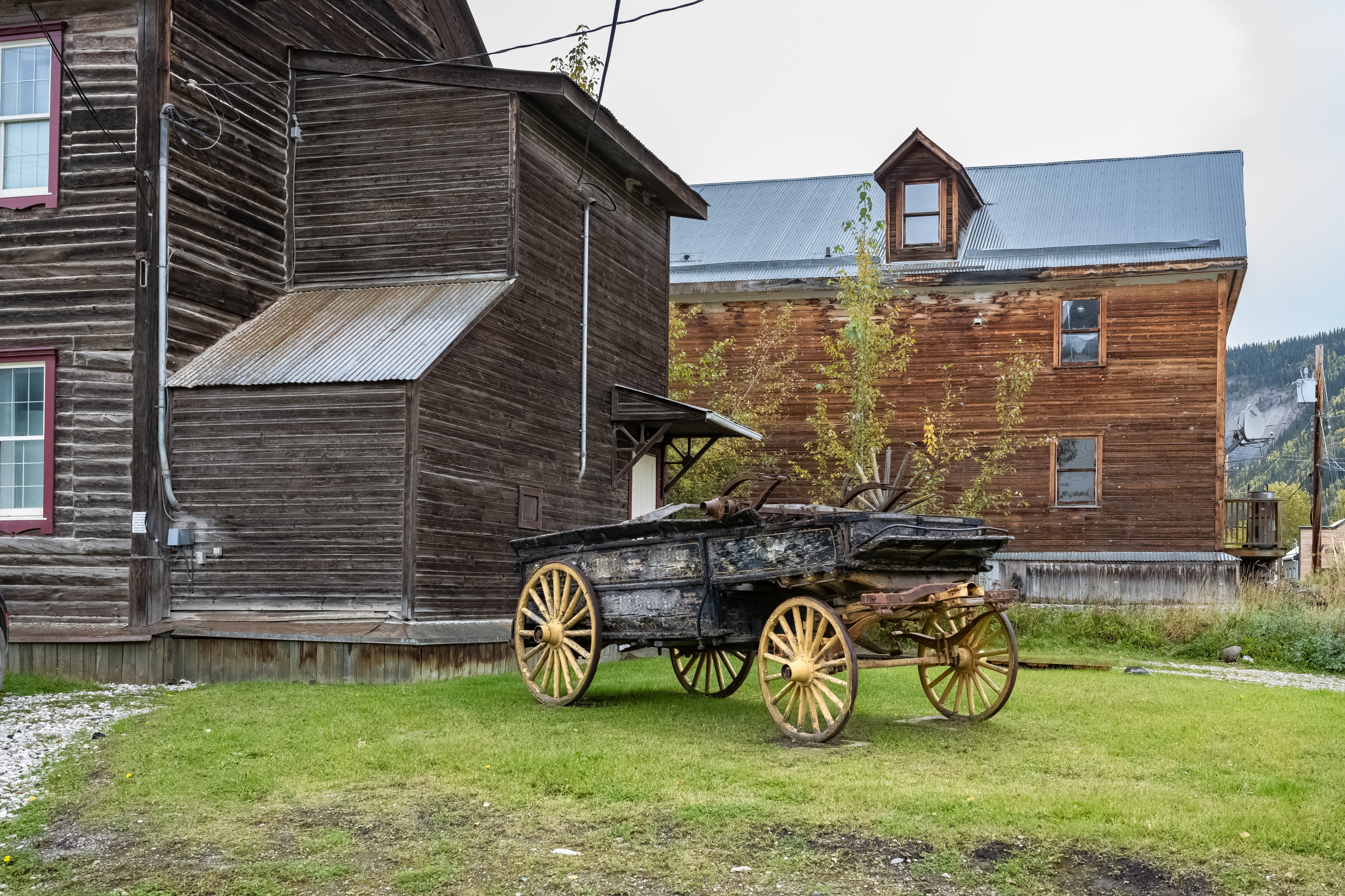
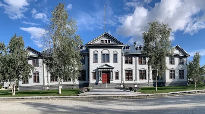
- Dawson City, the starting point and historic city of the Klondike Gold Rush.
- Miles Canyon, on the Yukon River, near Whitehorse.
- Kluane Museum of Natural History, to understand the fauna and geology of southwestern Yukon.
- Sea to Sky Highway, another scenic Canadian route, in British Columbia.
Frequently asked questions
Frequently asked questions
No. Many rental agreements prohibit gravel roads, which is the case for much of the route. Check with your rental agency or opt for specialized rental companies such as Alaska Overlander, Alaska Auto Rental or GoNorth, which offer suitable vehicles.
Allow at least seven hours of driving to travel from Dawson City to Tok. In practice, with stops at viewpoints, Chicken and the border crossing, it is better to plan a full day, or even an overnight stay.
From mid-May to mid-September. The Little Gold/Poker Creek border crossing closes in mid-September, making passage impossible beyond that date. Late August offers autumn colours and the first northern lights.
Plan your trip
The Top of the World Highway naturally fits into an itinerary connecting Yukon to Alaska, or in a loop from Whitehorse. To build a customized journey incorporating Dawson City, scenic highways and the national parks of the northwest, explore our Canada travel suggestions.
Interested in this visit?
We can include it in your personalised itinerary.