Mauricie National Park
Mauricie National Park
North of Shawinigan, 536 km² of forests and 150 lakes between the Canadian Shield and Indigenous heritage: complete guide to Mauricie National Park.
Why visit Mauricie National Park
Mauricie National Park is worth visiting in any season without losing any of its wild character. Spanning 536 km² of the southern Canadian Shield, it combines mixed forests, some 150 lakes and human history spanning several millennia. Managed by Parks Canada, it offers prime terrain for canoe camping, hiking and wildlife observation, about 15 km north of Shawinigan and 45 km north of Trois-Rivières, bordered to the east by the Saint-Maurice River and to the north by the Matawin.
History of the park
The earliest human traces date back to the Archaic period, between 7000 and 3000 BCE. Indigenous peoples lived in small family groups around lakes Antigamac and Wapizagonke, practising fishing, hunting and gathering. A cliff on Lake Wapizagonke shelters rock paintings, one of the rare material testimonies of this presence (site access is regulated to preserve the artworks). Until the 17th century, the Atikamekw and Algonquians respectively occupied the northern and southern basins of the Saint-Maurice River.
In the 19th century, logging transformed the region, soon followed by a pulp and paper industry that would leave a lasting mark on Mauricie's economy. The same era saw the arrival of wealthy American tourists who founded private hunting and fishing clubs. The Wabenaki and Andrew pavilions, remnants of the Laurentian Club, bear witness to this period and welcome visitors today. The park was officially created on August 21, 1970, following a federal-provincial agreement ending the activities of sixteen private clubs that occupied the area.
What to see and do in the park
Flora and fauna
Forest covers 93% of the park and comprises 30 tree species. Located at the northern boundary of Quebec's deciduous forests, it is dominated by sugar maple and yellow birch on well-drained slopes. Balsam firs, pines and spruces take over on rocky escarpments and wetlands.
- Over 440 species of vascular plants recorded, including 27 rare or of particular interest
- 50 mammal species: moose, black bear and Eastern wolf, the latter being the only park mammal considered at risk
- 211 bird species, with the common loon as emblem, accompanied by the common merganser and the goldeneye
- Brook trout, the flagship species of the park's waters
On the water
Water structures the experience. The canoe camping circuit connects roughly a dozen backcountry lakes via portages, with about 200 campsites accessible only by boat. The excursion to Waber Falls combines canoeing and hiking to reach an isolated cascade, ideal for cooling off after exertion.
On the trails
The Promenade Road, 63 km long, crosses the park from one entrance to the other with several scenic overlooks, particularly popular in autumn. Hundreds of kilometres of trails supplement the offer, passable on foot in summer, by snowshoe or cross-country ski in winter. Biking is allowed on the Promenade Road.
When to visit
The park is closed in April and November. Each open season has its own characteristics.
Summer
The busiest season, ideal for lakes and trails. In June, mosquitoes are very present near bodies of water: effective repellent is essential. Their numbers decline afterwards.
Autumn
Late September marks peak foliage: deciduous trees turn red and orange, seen from the Promenade Road and its overlooks. Mauricie ranks among the sought-after destinations for fall colours in Quebec.
Winter
From December onward, the park changes atmosphere. Snow-covered forests, ice formations in the Wapizagonke sector and a network of winter trails punctuated by heated shelters make the experience accessible even in severe cold.
Practical information
- Opening period: May to October, then December to March. Closed in April and November.
- Rates: modest daily entrance fee per adult (free for under 17). Specific rates for camping and canoe camping.
- Reservations: camping and canoe camping to be booked in advance with Parks Canada, especially during peak season.
- Equipment: mosquito repellent in June, warm clothing and suitable footwear in winter.
- Animals: dogs allowed on leash in certain sectors only.
How to get there
The park is accessible via two main entrances from Highway 55:
- Saint-Jean-des-Piles entrance via exit 226
- Saint-Mathieu-du-Parc entrance via exit 210
- Secondary access via Saint-Gérard-des-Laurentides
Without a car, the Park Bus offers summer shuttles from Montreal. Modalities and rates vary by season; booking advised.
Nearby
Mauricie and the Laurentians offer several natural extensions to a stay in the park:
- Mont Tremblant, a Laurentian resort renowned for year-round activities
- Mont Royal in Montreal, a convenient starting point before or after Mauricie
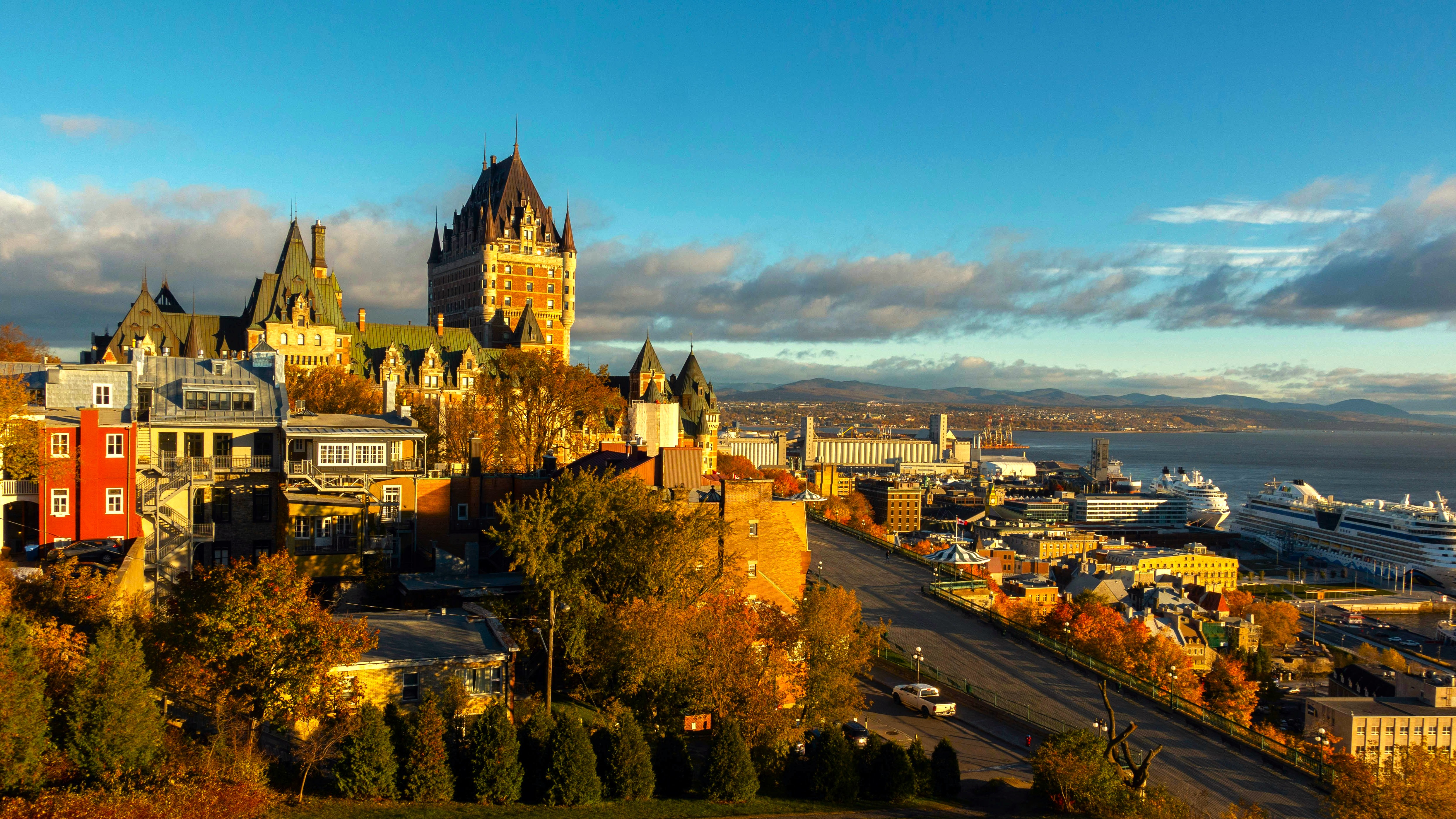
- Château Frontenac and the Battlefields Park in Quebec City, about two hours' drive away
Frequently asked questions
Frequently asked questions
Plan your stay
Mauricie National Park fits naturally into a larger Quebec itinerary, between Montreal, Quebec City and the wild regions of the Canadian Shield. To build a custom itinerary, explore our Canada tours.
Interested in this visit?
We can include it in your personalised itinerary.